
About Us
A Lebanese consulting firm specializing in land surveying and its transformation into actionable plans. We work with municipalities, developers, and investors on projects ranging from topographic surveys of individual properties to master plans for entire municipal areas.
- Head Office
- Batoulieh - Tyre, Lebanon
- Location
- 33°13'N 35°15'E
- Registration number
- 16236
1999
Founded in Sidon
Trajectory
From an engineering office to a fully integrated consulting firm
The company was founded in Sidon in 1999 as an office for surveying and real estate subdivision. With the increasing scale of projects in southern Lebanon and the Chouf region, the scope of work expanded to include urban planning, infrastructure design, and geographic information systems, within four engineering departments working on a single spatial database.
Milestones
Company Trajectory & Milestones
More than a quarter of a century of surveying and engineering experience
1999
Founded in Sidon
The office has begun its work in surveying and real estate subdivision in southern Lebanon.
2006
Expansion towards urban planning
First municipal master plan, and the beginning of regular work with the public sector.
2013
Building a Geographic Information Systems (GIS) Environment
Converting the survey archive into a unified spatial database that links the layers to the real estate records.
2018
Medyar Project
The largest master plan in the office's record, covering an area of 3,529,502 m² in Damour and Dbayeh.
2021
Aerial surveying by drones
Introducing aerial photography and producing orthographic images and terrain models for extended projects.
2026
Four engineering departments
Surveying and planning, infrastructure, environmental impact assessment and GIS systems operate on a single database.
Our Vision
To be the premier engineering reference in southern Lebanon for every project that starts from the ground up: accurate measurement, responsible planning, and reliable spatial data for investment and municipal decision-making.
Our Mission
Providing documented and geodetically interconnected engineering studies that shorten the licensing time for the client and protect the property's value in the long term, with a team based in the area and familiar with its regulatory details.
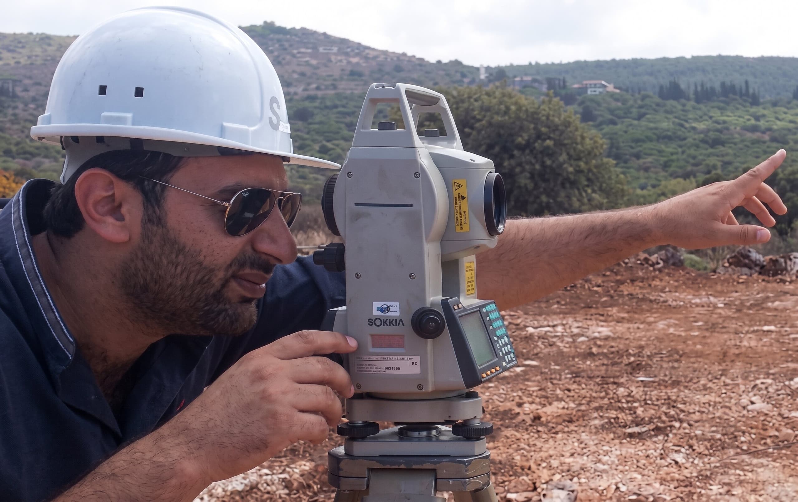
Geodetic and technical capabilities
Equipment and software that we use for lifting, documentation and delivery.
Comprehensive monitoring stations
Measuring angles, distances, and linking ground control points for extended projects.
GNSS and RTK devices
Determining real-time coordinates linked to the Lebanese geodetic network.
Aerial surveying by drones
Covering large areas and producing orthographic images and terrain models.
Ground laser scanning
A dense point cloud of urban sites and existing structures.
Geographic Information Systems (GIS) environment
Building spatial databases and linking the layers to real estate records.
Engineering design and delivery
Producing execution plans, calculating quantities, and matching them with regulations.
Board Statement
Every plan that leaves this office bears a signature and a name registered with the syndicate. This is not an administrative detail; it is the responsibility upon which we have built twenty-seven years of work. We commit to every client that the figure we deliver is verifiable, and that the boundary we establish on the ground withstands review.
Official Corporate Records & Founding Archive

Send us the parcel boundaries, and we will return the scope and the schedule.
Every consultation request is reviewed within two working days, with the required field survey, studies and documents defined before any financial commitment.